

The so called "west-path" (way nr. 455) which leads within about
1 1/4 hrs up to the top can be considered as easy. Coming from the
hut towards the wall you turn at the way-fork to the right and hike
up on a winding path. later it will be more flat. Who observes the
environment will see a little commemorative plaque for a mule which
lost its life when transporting wood for the little wooden refuge
near the top. The path further smoothly goes up, and reaches the
way nr. 451 which comes from the top and leads to the
Glaswandscharte and also to the Jachenau-valley. You turn left to
southern direction and follow the way 451 up, first steeper, later
less steep. Then you will reach in eastern direction through a mass
of dwarf-pines the top.
He/She who wants a more detailed description with pictures has a
look at the page "Families & Children" and there the
Westascent
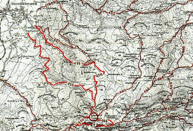
Possible Map Kompasskarte Nr.7 Murnau-Kochel 1:50000